

🚴 Start bike computer
Open on your phone at the start of the route – the map follows you and shows the turns.
🚩 Start: Innerstaden
❄️ Summer
Map: © OpenStreetMap contributors
A central link in Stockholm’s cycling network
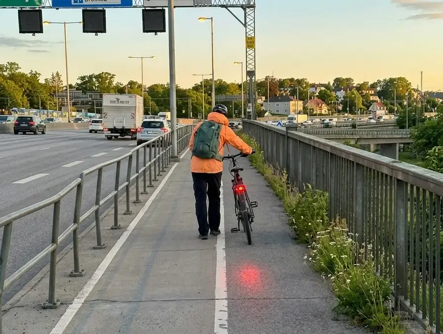
Essingestråket is a just over five-kilometer-long cycle path that is part of Stockholm’s regional cycling network. The route runs through one of the city’s most traffic-intensive zones and offers a continuous alternative if you want to get around by bike without mixing with car traffic on Essingeleden.
About the route
The stretch is 5.5 kilometers long and runs as a one-way route, which means you need to plan for your return or combine it with public transport. The starting point is located in the western parts of the inner city, near Lilla Essingen, and the route then extends in a southeasterly direction toward Södermalm or adjacent districts. The coordinates point out a route that passes through or near Essingen and further into more central parts of Stockholm. It is part of the regional cycling network, which means it is intended to function as a shortcut for commuters rather than a recreational route.
Road and surface
As part of Stockholm’s regional cycling network, Essingestråket is likely largely developed with asphalt cycle paths or cycle lanes, but the stretch can vary in standard on different sections. In an urban environment, it is not uncommon for the route to alternate between separated cycle paths, shared pedestrian and cycle paths, and shorter stretches in mixed traffic. The terrain in the area is relatively hilly in places, so expect some shorter climbs along the way.
Good to know
The route is primarily practical for you if you commute or want to get efficiently across the city in a north-southwest corridor. Since this is a one-way stretch of 5.5 kilometers, you should plan your journey home in advance – either via public transport or by cycling back the same way. Traffic in the surrounding area can be intense, especially during rush hour, so be alert at intersections and at crossings. If you can, avoid cycling here during rush hour traffic if you are unfamiliar with city cycling. The route is ideal for you if you want to avoid the long detours around Essingeleden and instead take a more direct route through central Stockholm.